Celebrating Over 100 Years of Serving Manitoba
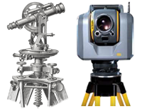
Barnes & Duncan has operated as a land surveying company in Manitoba under various names dating back to 1906, with the name Barnes & Duncan in use since 1973. Barnes & Duncan is now an amalgamation of five firms: Barnes & Duncan, Atkinson Surveys, W.A. Beattie & Associates, Michalenko Surveys and Wilson & Neal.

Land Surveying
Our legal survey services include: new home construction (greenfield and infill developments), subdivision plans, easement plans, legal description writing, condominium surveys of existing buildings and new construction, building location certificates, lot staking certificates, lease area surveys, road opening/closing plans, drain plans, survey monument restoration, topographic surveys, subdivision design, subdivision applications and consulting services for various land related issues.
Construction Surveying
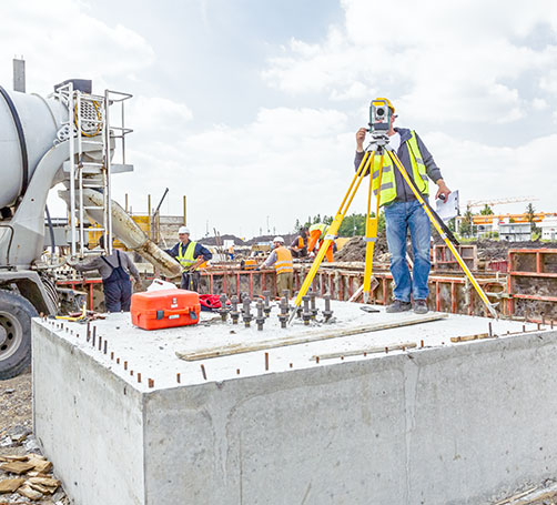
Barnes & Duncan have become leaders in construction layout for civil and structural projects for contractors, land developers and owners. Additionally, we can also provide quality control/review surveys and reporting to contract administrators for civil and structural projects.
Municipal Engineering
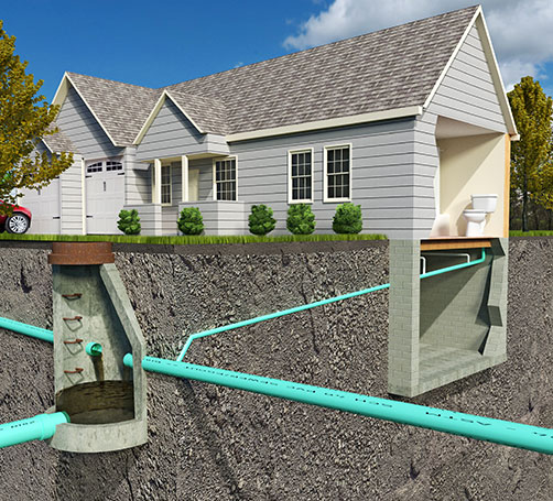
Barnes & Duncan provides many types of Engineering design services for both residential and commercial developments. Our services include: lot grading design, road design, and sewer and water design services. We also provide project management, construction layout and inspection services for land development projects.
Geomatics/Geospatial
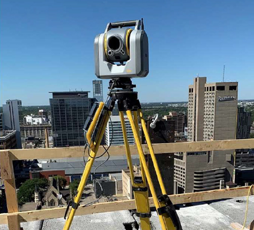
At Barnes & Duncan we are committed to delivering exceptional Geomatics/Geospatial solutions tailored to your unique needs. Whether you’re planning a large-scale construction project, conducting environmental assessments, or managing natural resources, our expertise and cutting-edge technologies empower you to achieve your goals efficiently and cost effectively. We offer the following services: 3D Laser Scanning, Photogrammetric UAV, LiDAR UAV, Geographic Information Services (GIS), Bathymetric Surveying and Deformation Surveys.

Planning Department
Our planning department offers comprehensive land use planning services from subdivisions to strategic zoning amendments that can include comprehensive community engagement and community building strategies. We offer a broad spectrum of development services. An expert in our planning department can guide you through the intricate landscape of regulatory land use planning and help you formulate viable planning solutions. Partner with us for a visionary approach to your land development project.
Join Our Team
We are always on the lookout for experienced professionals who are looking for an exciting career in the Geomatics and Engineering industry. If you’re a dedicated, self motivated, enthusiastic individual we’d love to hear from you.
