Land Surveying
Plans of Subdivision

From conceptual plans to registered plans of subdivision, we’ll assist you with the subdivision process from application to registration. The final deliverable, being a plan of subdivision ready for registration, is a legal document prepared by a Manitoba Land Surveyor which, along with the survey monuments placed in the ground, define the lot dimensions and location of the survey boundaries.
Survey Certificates

Building Location Certificates and Staking Certificates are legal documents, prepared by a Manitoba Land Surveyor, which help guarantee the ownership of a property by indicating any restrictions in the physical extent of the property and reporting on any encroachments onto or from adjoining properties.
Easement Plans
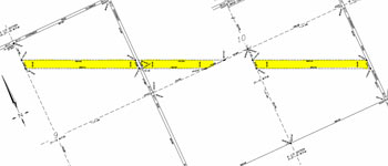
An easement is a right given to a person or entity to use a piece of land that is not owned by that person or entity. Common examples of easements are for utility companies who require rights to a piece of land for the installation and maintenance of utilities. Similarly, the owner of a land-locked piece of land may have an easement over adjacent land to gain property access. An easement plan is a legal document, prepared by a Manitoba Land Surveyor, which indicates the dimensions on a particular parcel of land.
Condominium or Lease Surveys

We have extensive experience in condominium development including bare land and new building condominiums as well as the condominuization of existing buildings. Lease surveys are typically completed to determine leaseable property that a tenant is responsible to pay for. These surveys can be completed using BOMA standards or other methods based on the specifications of a lease.
Treaty Land Entitlement Surveys
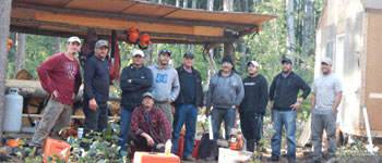
Barnes & Duncan has been involved in numerous Treaty Land Entitlement (TLE) projects in northern Manitoba. The logistics required to carry out an isolated survey in northern Manitoba during the winter is quite extensive. TLE surveys require the cutting, clearing, posting, plan preparation, and natural feature identification of large land masses and water bodies in order to fulfill the transfer of Crown Lands to the First Nations people.
Road or Lane Opening and Closing Plans

A road opening plan indicates the dimensions of a road right-of-way, road allowance, or lane to be opened, or possibly transferred from a private owner to a governing body for public use. Conversely, a road closure plan indicates the dimensions of a road right-of-way, road allowance, or lane to be closed, or taken out of public use and transferred potentially to a private owner.
Survey Monument Restoration

The restoration of lost or damaged survey monuments in Manitoba ensures the integrity of the survey fabric which forms the foundation for all land tenure within the Province. Survey monuments are integral for all land development, construction projects and real estate transactions in the province, by providing certainty in defining the extent of title.
Legal Description Writing and Interpretation
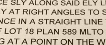
A legal description is a written description that delineates the exact boundaries of a parcel of land. A legal description can contain metes and bounds, lot block plan, or a reference to the Dominion Government Survey system (DGS). Our Manitoba Land Surveyor’s are trained in writing and interpreting legal descriptions and authorized to determine the location of the legal description of any property in Manitoba.
Topographic Surveys
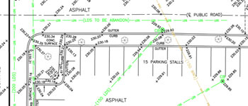
Topographic surveys provide information about a property including: elevations, above ground and below ground utilities, above ground improvements including buildings, legal boundaries, and survey monuments. In addition we may collect locations of boreholes, monitoring wells, and digitize historical as-built utility data and relate same to the property boundaries.

